digital integrated network
Sustainable Coalescence in Askeaton’s Subterranean Data Stronghold
Conceptual Approach
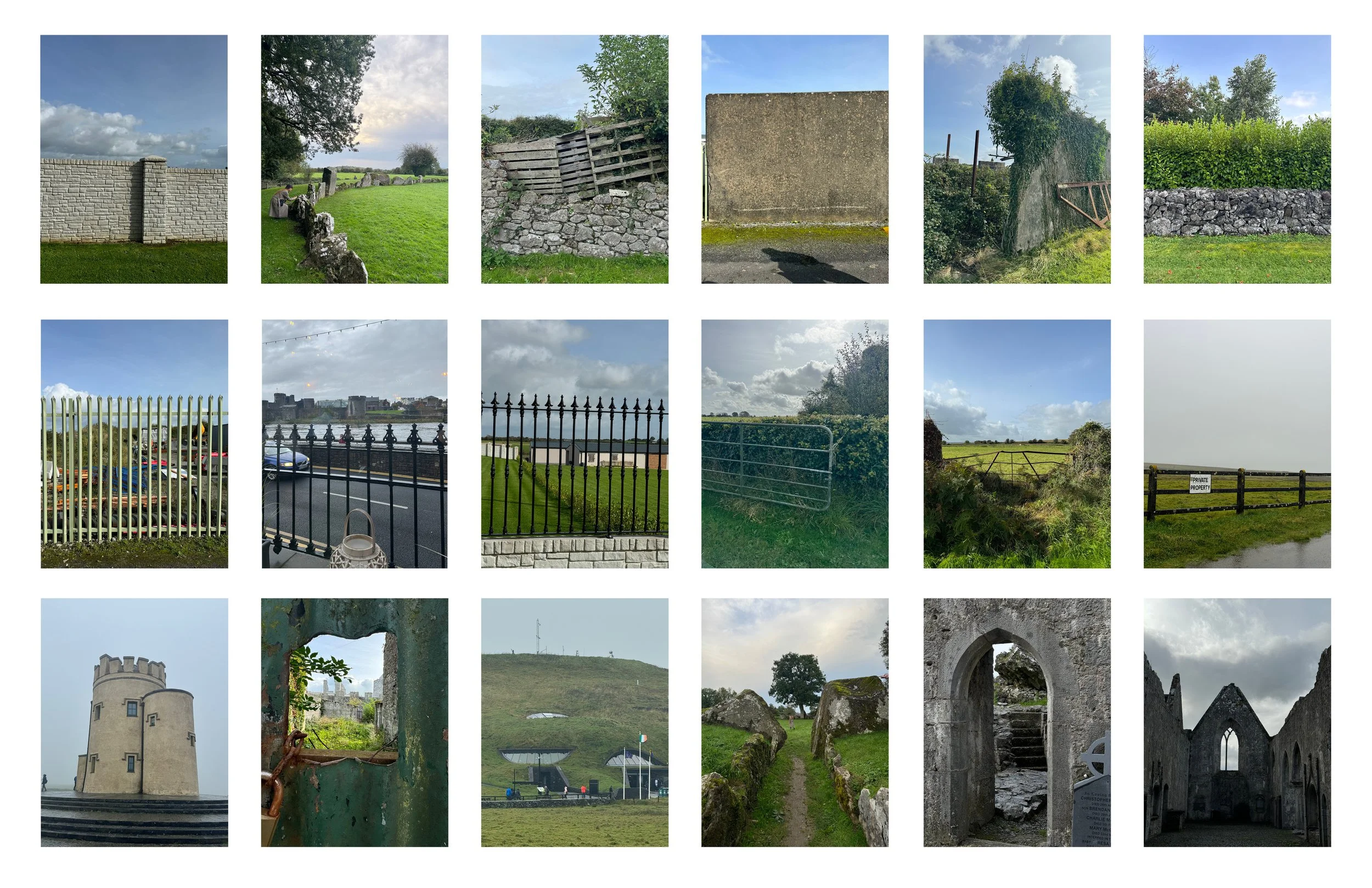
Oppidum in Latin is defined as a ‘defended (fortified) administrative centre or town’, originally used in reference to non-Roman towns as well as provincial towns under Roman control. The Celtic people have long used this method of protection in which ways they store, trade, and grow their resources.
A land for protection of resources.
A center of protection of data.
At it’s core, data centers are not much different from these ancient oppidums. A structure, with a sole purpose to protect, store, and “trade” a point in a cloud around the globe. These valuable, yet vulnerable spaces pose for opportunity where an intangible resource seeks shelter from a physical space.
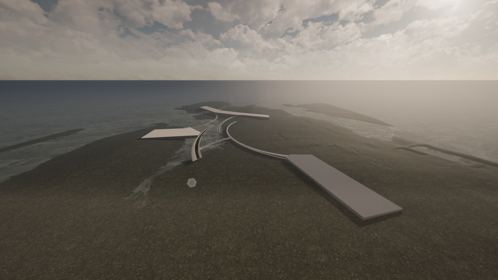
Site: Askeaton, Ireland
Academic Year: 2023
How can we effectively safeguard our land and resources against the threats posed by water?
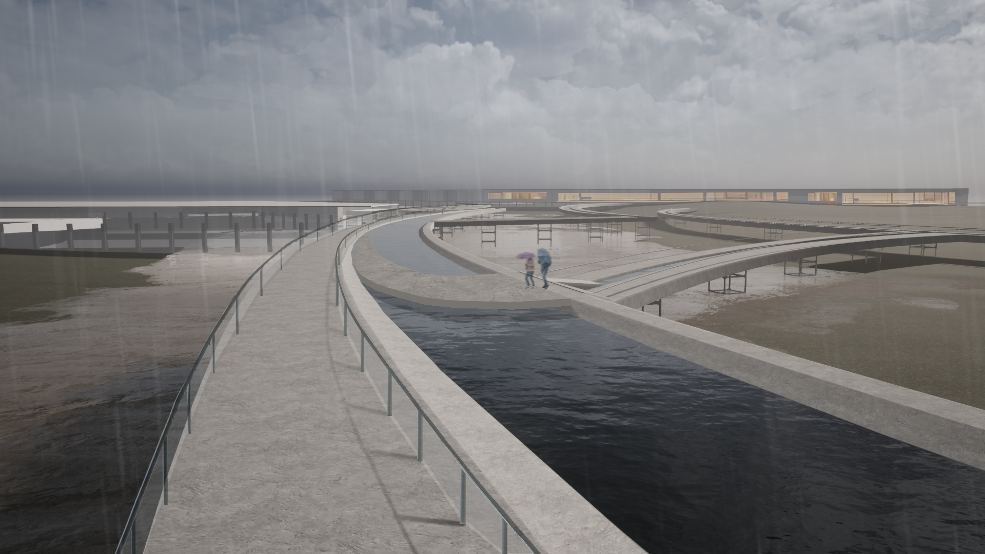
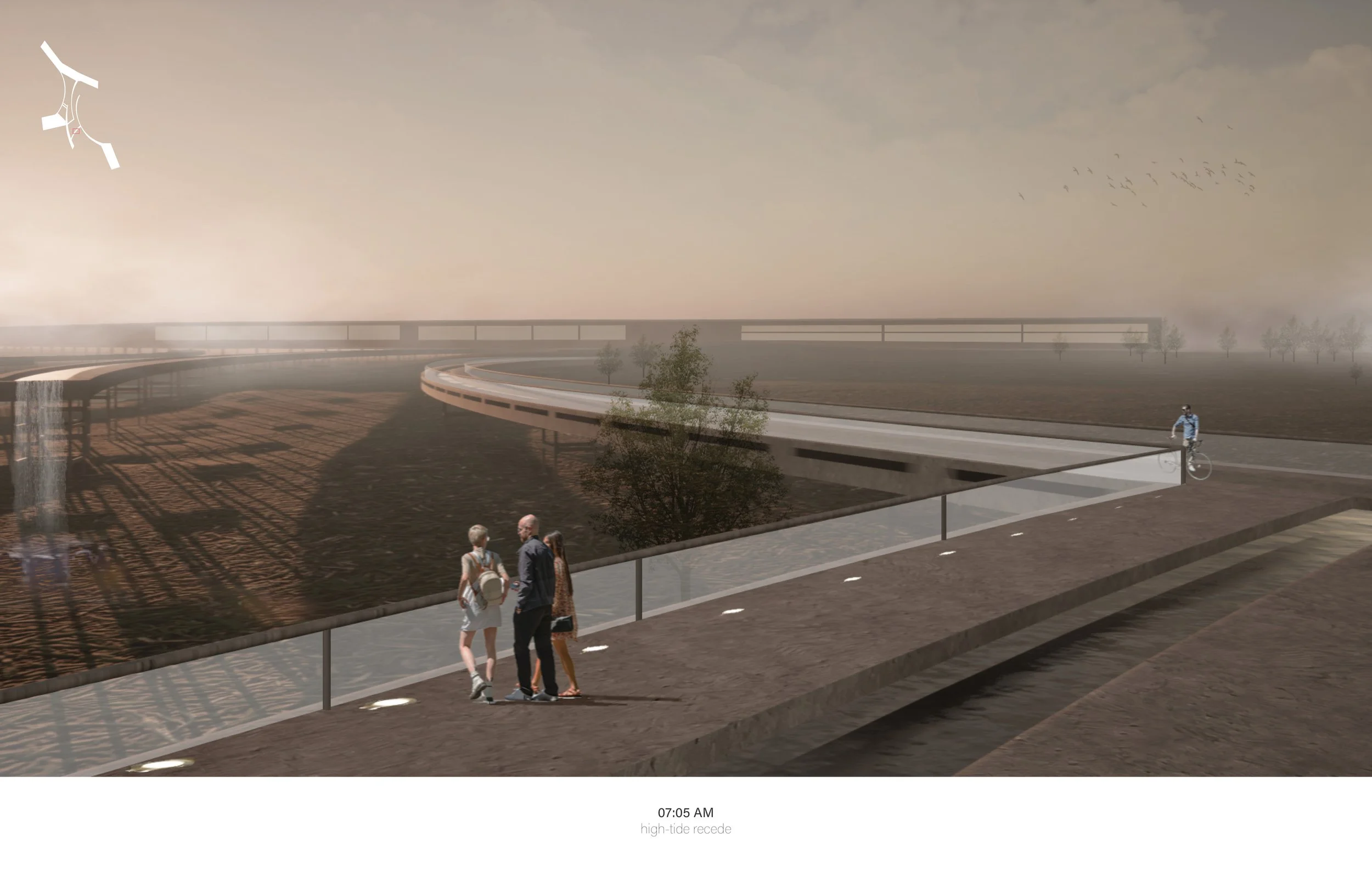
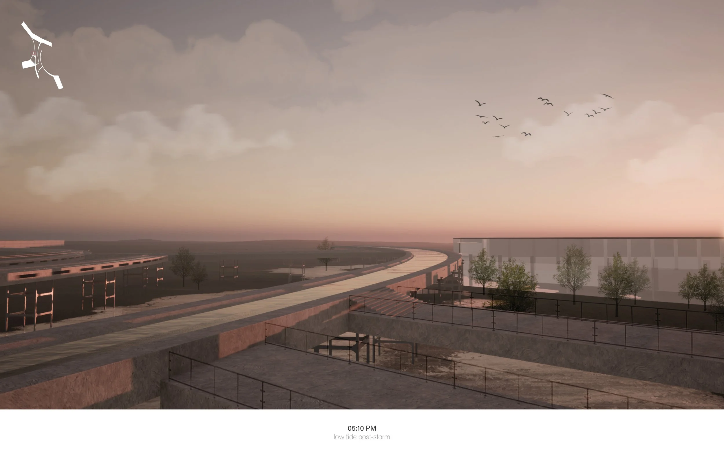
Instead of solely focusing on repelling it, we adopt the ingenious approach of the opidum, which not only fortifies against water intrusion but also welcomes and harnesses this precious resource for sustainable use.
land as protection
under the tides
Ireland, being defined by wetness, is facing a juxtaposing issue. Like many parts of the world that face the threat of sea level rise and flooding, at the same time, many places around the site such as Askeaton and Limerick are threatened by not having enough water.
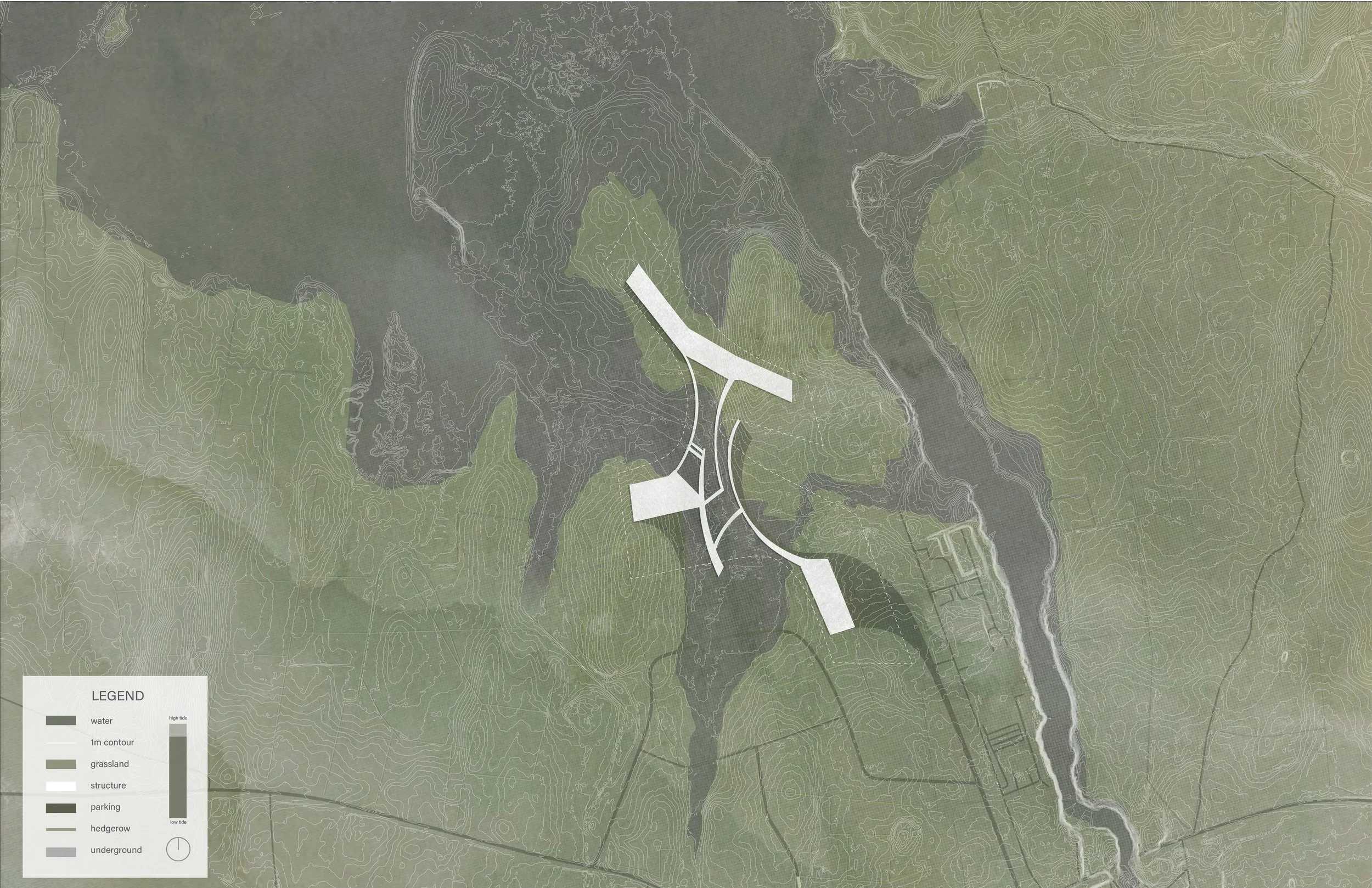
Flooding is no uncommon occurrence for many places in Ireland. This is the current flood map of our site at 0ft water level rise. The blue is where water potential floods and even at 0ft, the dramatic shifting tides of the estuary create potential flood zones. Below is a graph at 20 feet in comparison.
The River Shannon’s pollution has pushed residents to not be able to source clean water in a country that one would regularly think would never have problems sourcing water. This project designs for the possibility of a major flood event and future sea-level rise adaptation, turning agricultural land into wetland edge as a shelter for data, privacy, and resource.
land as collection
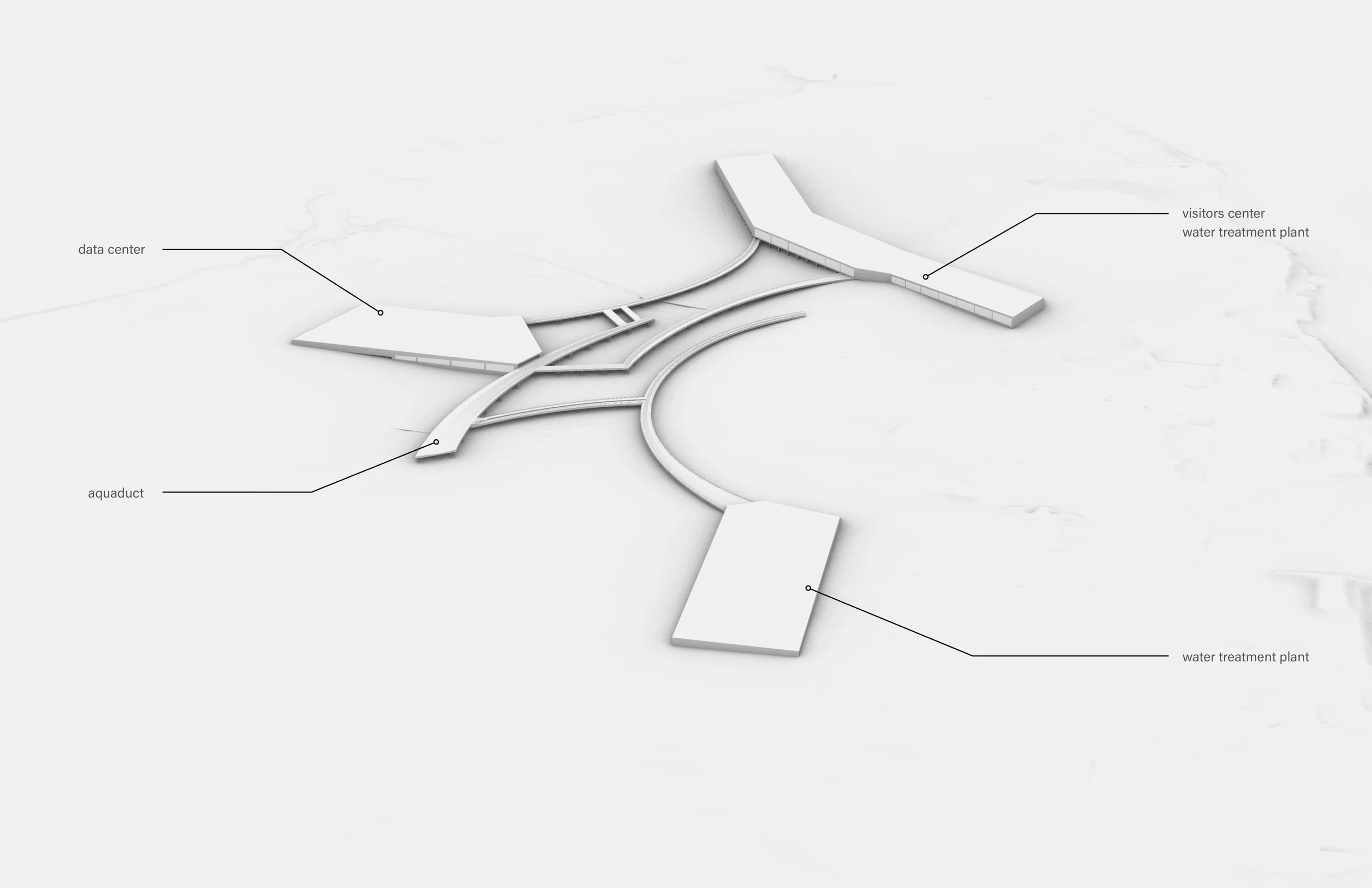
By sheltering the data center underground, the excavated material reshapes the existing contours of the land’s “visual quilt”. This guides the flow of water for future flooding events. The data center will act as a center to filter, direct, and store rain and ground water to supply nearby communities while simultaneously cooling the facilities


